View similar
Share on Pinterest

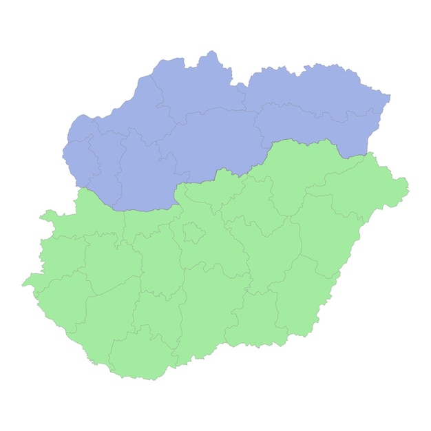
High quality political map of hungary and slovakia with borders of the regions or provinces
Related tags
- territory
- geographic
- atlas
- map
- countries
- flat map
- map illustration
- 29+
- line illustration
- country map
- map lines
- map design
- world map
- worldmap
- region
- flat line
- geography
- area
- world
- state
- location illustration
- dimension
- world illustration
- nationality
- illustrations
- travel map
- isometric world
- isometric illustration
- isometric
- line
- slovakia
- location
- graphic illustration
- design illustration
- isometric map
- travel illustration
- Show less